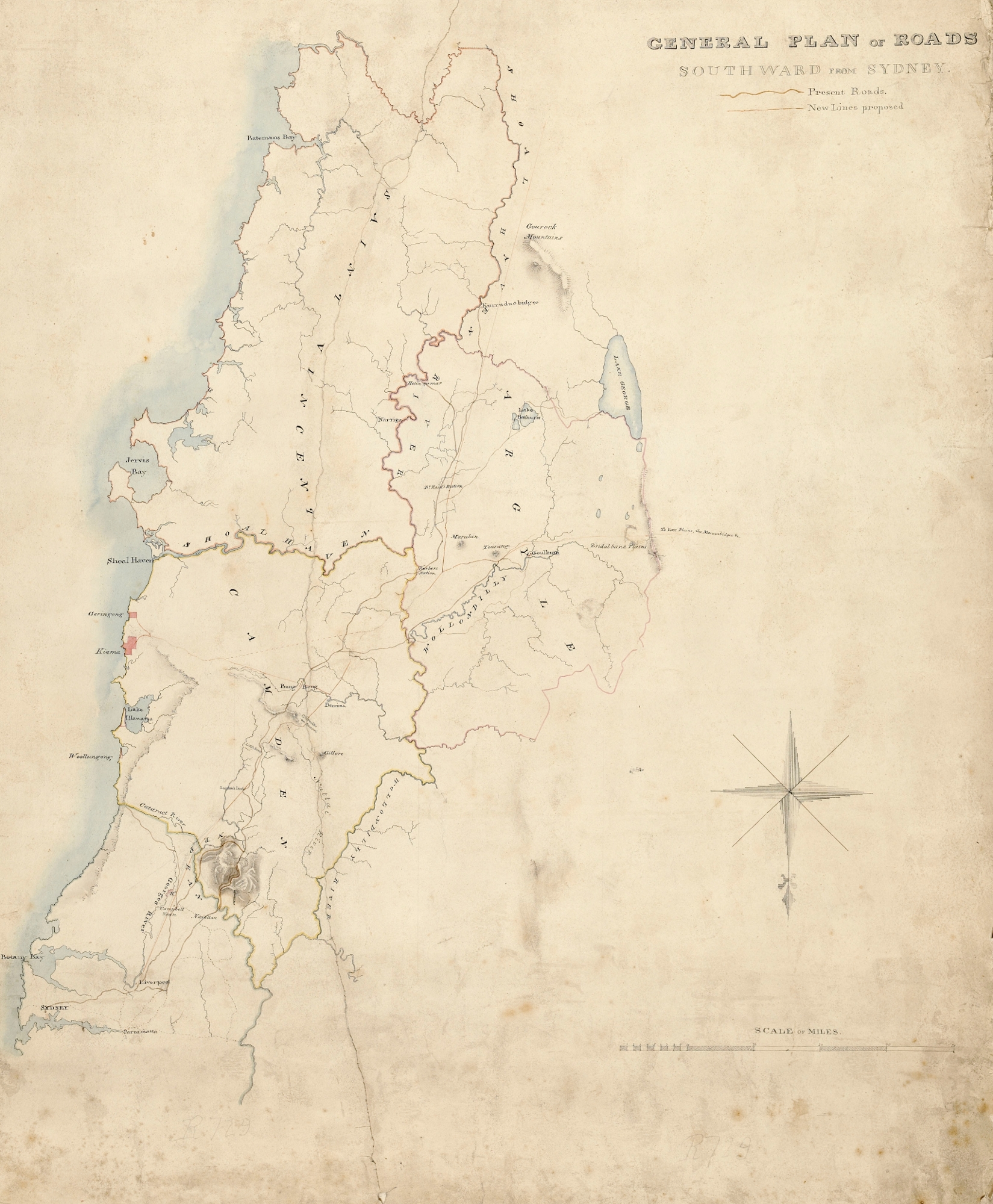
Parish Map Preservation Project
There are great resources available online for users and lovers of all things cartographic. The Parish Map Preservation Project was commenced in 1997 and aimed to digitise the over 35,000 maps, recording land administration in New South Wales since 1792. These maps are now publicly viewable through the Department of Lands website (helpful guidance for using the maps can also be found at the above link). Amongst other things the County and parish maps in this database can be a handy tool for those trying to track down Conditional Purchase or Primary Application numbers for further research.
If bandwidth makes accessing this material difficult for you the maps copied as part of the Parish Map Preservation Project can also be accessed on CD-Rom in both of State Records Reading Rooms. If you are in regional NSW, each Regional Repository also holds a select set of the CD-ROM’s that is specific to its region.
 Spatial Information Exchange (SIX)
These maps and more can be found at the Spatial Information Exchange (SIX) , which is the official source of information for geospatial data in New South Wales. The Pixel viewer is an image searching and viewing application that allows you to search for a particular attribute, such as a town or reference number, and then break down the search by type of map i.e. Parish Map, County Map or Town map. The search tool here is more flexible than the one provided in the earlier link and the database also contains images of additional maps and plans to those digitised as part of the Parish Map Preservation Project.
Aerial Photography
It is also worth mentioning the Six Lite viewer, which provides access to aerial images of Sydney and its surrounds dating back to 1943. The search engine allows you to locate an image using an address or a place name (e.g. Sydney Harbour). With a click of a button information about weather or hotspots will be displayed as well.

Stephen Smith says:
Hi – I have birth certificates stating a place named Riversford, Menangle circa 1850: but I cant find this using the Parish maps nor the SIX system. Can you advise please.
Thanks, Steve
Fiona Sullivan says:
As a general rule the geographical names board site is always handy http://www.gnb.nsw.gov.au/ . However, that wasn’t helpful in this instance. I would recommend getting in touch with Wollondilly Library and asking them: http://www.library.wollondilly.nsw.gov.au/ask-local-librarian