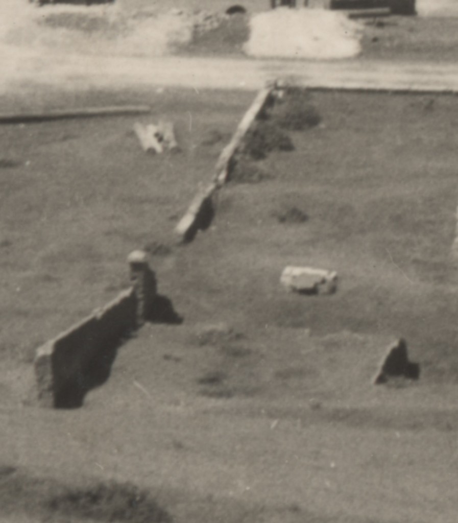
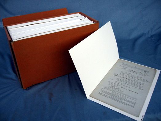
A large ongoing digitisation project currently underway here at State Records is the digitisation of Surveyors’ sketch books.
These tracings and sketches date from as early as 1828 and were done for the Office of the Surveyor General.
Of the 29 items (volumes) in this series so far 6 have been digitised with a total of c.700 images from these 6 items now available through Archives Investigator. Clearly we’ve still got a lot more to go – so keep checking in as more images will become available!
Below are a few images from the series to whet your appetite. Follow the link above to access all images in the series.
The sketches mostly relate to the following subjects: sketches and tracings of towns and villages and of extensions and alterations proposed thereto, sketches of allotments sold or granted to various persons. There are also sketches and tracings of land, the ownership of which was in dispute, or of encroachments on Crown lands, and of tracings of reserved roads through allotments, and of street alignments in towns. There are also tracings of land reserved for churches, schools, cemeteries and other public purposes.
description from Archives Investigator
![[100] [Laings 20 acres at Watsons also houses and gradens to the south of it. Sketch book 1 folio 25] NRS13886X751_a110_000100.jpg](/wp-content/uploads/2014/03/NRS13886X751_a110_000100.jpg)
[100] [Laings 20 acres at Watsons also houses and gradens to the south of it. Sketch book 1 folio 25] NRS13886X751_a110_000100.jpg
![[83] Site for Court House by Butler and site now proposed - Hartley [Sketch book 3 folio 51] NRS13886X754_a110_000002.jpg](/wp-content/uploads/2014/03/NRS13886X754_a110_000002.jpg)
[83] Site for Court House by Butler and site now proposed – Hartley [Sketch book 3 folio 51] NRS13886X754_a110_000002.jpg
![Plan of the allotments at and near Lower Portland Head shewing the situation of the 20 acres allowed to William and Margaret Callaghan for life [Sketch book 4 folio 17] NRS13886X755_a110_000029.jpg](/wp-content/uploads/2014/03/NRS13886X755_a110_000029.jpg)
Plan of the allotments at and near Lower Portland Head shewing the situation of the 20 acres allowed to William and Margaret Callaghan for life [Sketch book 4 folio 17] NRS13886X755_a110_000029.jpg
![Kensington to be sold by auction by Mr Stubbs [Sketch book 4 folio 68] NRS13886X756_a110_000015.jpg](/wp-content/uploads/2014/03/NRS13886X756_a110_000015.jpg)
Kensington to be sold by auction by Mr Stubbs [Sketch book 4 folio 68] NRS13886X756_a110_000015.jpg

![The Birdwood Flag in its original condition. [Courtesy of The University of Newcastle's Anglican Diocese Archives in Cultural Collections A6137(iv)]](http://uoncc.files.wordpress.com/2014/05/a6137003.jpg?w=670&h=892)

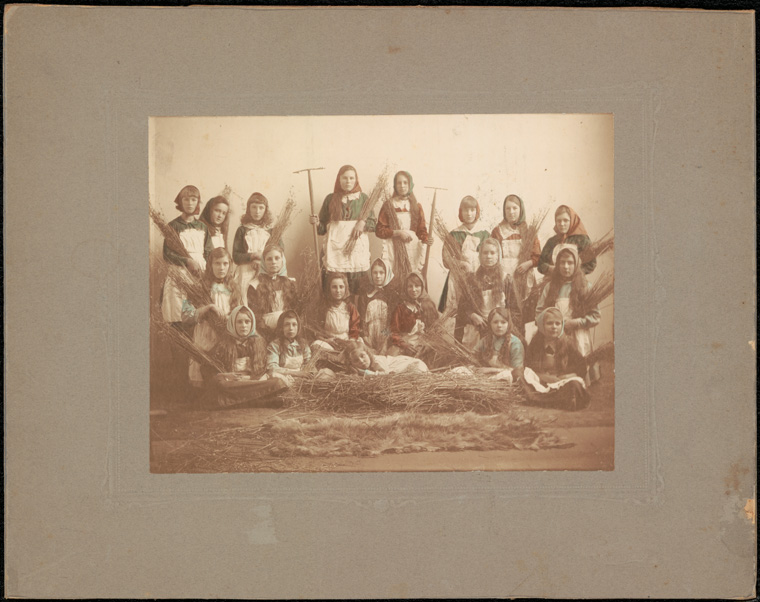
![Caption: Broken Hill Public School - student display [possibly May Day] Digital ID: 15051_a047_001850.jpg Date: c. 31/12/1904](/wp-content/uploads/2014/04/15051_a047_001850.jpg)
![[100] [Laings 20 acres at Watsons also houses and gradens to the south of it. Sketch book 1 folio 25] NRS13886X751_a110_000100.jpg](/wp-content/uploads/2014/03/NRS13886X751_a110_000100.jpg)
![[83] Site for Court House by Butler and site now proposed - Hartley [Sketch book 3 folio 51] NRS13886X754_a110_000002.jpg](/wp-content/uploads/2014/03/NRS13886X754_a110_000002.jpg)
![Plan of the allotments at and near Lower Portland Head shewing the situation of the 20 acres allowed to William and Margaret Callaghan for life [Sketch book 4 folio 17] NRS13886X755_a110_000029.jpg](/wp-content/uploads/2014/03/NRS13886X755_a110_000029.jpg)
![Kensington to be sold by auction by Mr Stubbs [Sketch book 4 folio 68] NRS13886X756_a110_000015.jpg](/wp-content/uploads/2014/03/NRS13886X756_a110_000015.jpg)


