“…once in a lifetime there occurs an event so vital and significant that borders no longer matter. World War II was such an event. The third part of the ‘War and Australia – World War II’ page features records created by the Department of Main Roads NSW whilst working in the Northern Territory, New Caledonia, Norfolk Island and Queensland.”
Tag Archives: maps
Take a walk through the streets of Sydney during #underbelly #razor
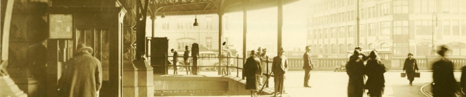
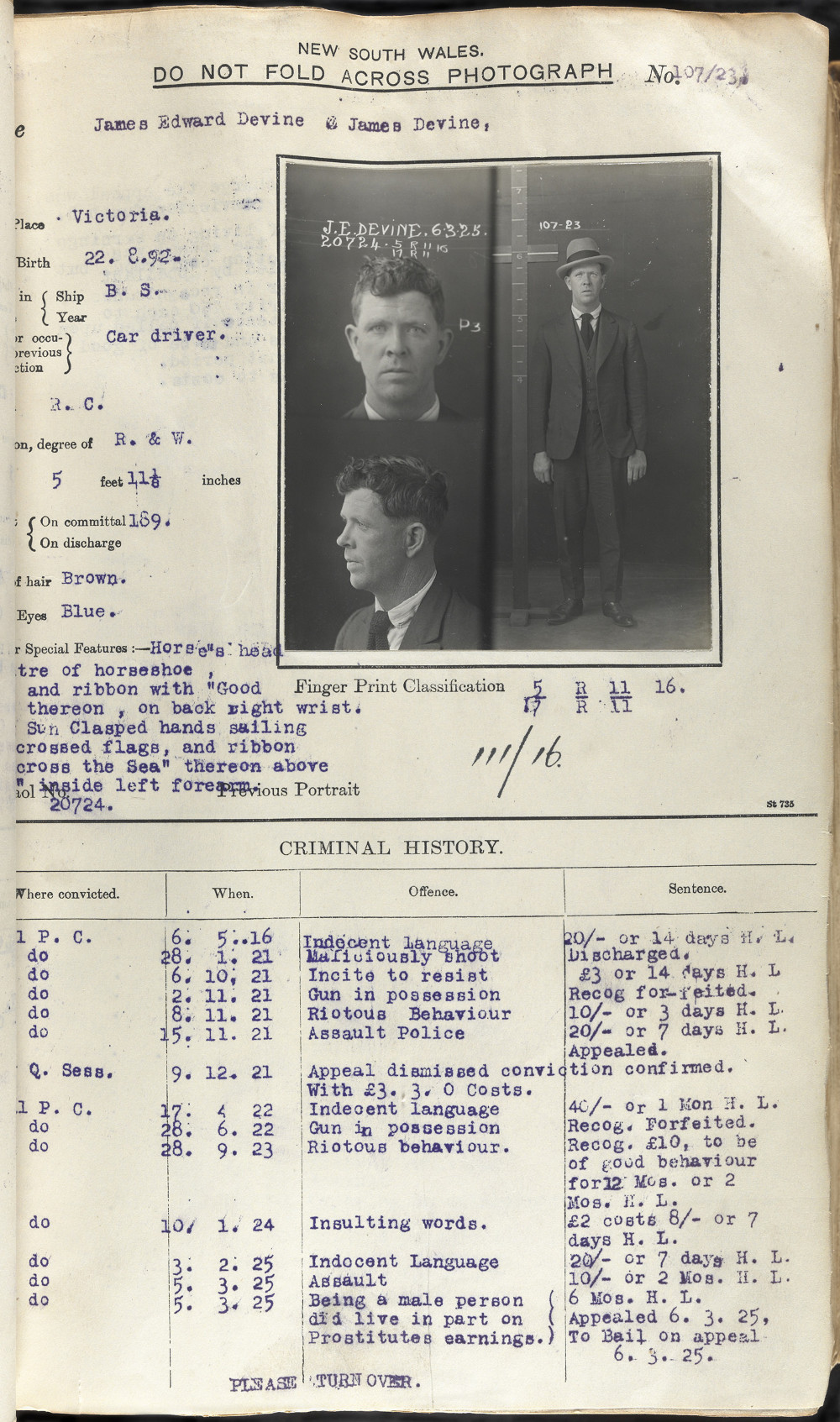
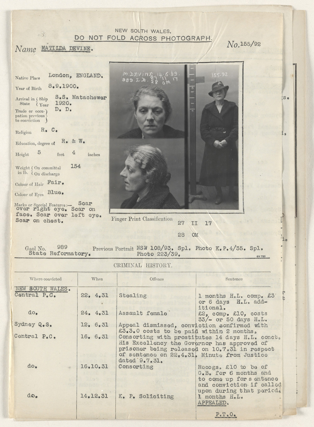
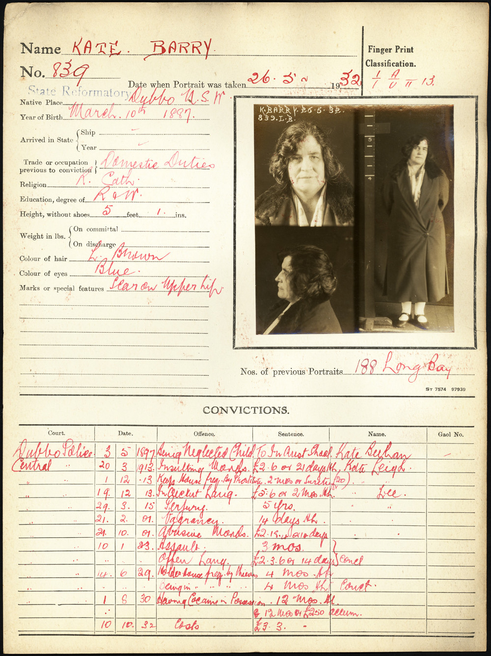
Fans of the the TV series Underbelly Razor will be interested to see this map of Sydney from c.1930, the era of the infamous razor gangs. Imagine the figures of Kate, Tilly and Jim (pictured below in 1923,1939 and in 1932 respectively) as they walked through these streets……..
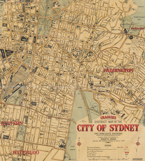
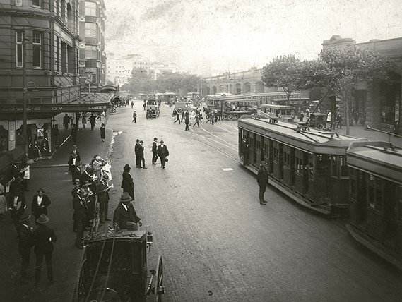
To see more images of “old” Sydney take a look at State Records NSW’s photostream on Flickr.
See also
NSW Maps Online
There are fantastic resources available online for users and lovers of all things cartographic. The Parish Map Preservation Project was commenced in 1997 and aimed to digitise the over 35,000 maps, recording land administration in New South Wales since 1792. These maps are now publically viewable through the Department of Lands website.
Conservation Tip No. 2: Storing large documents, maps and plans
If you have large documents like plans, maps and posters the best way to store them is …..